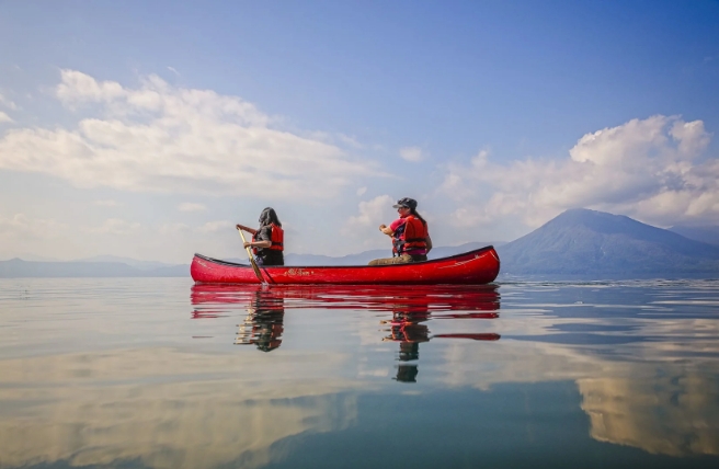
The West Side
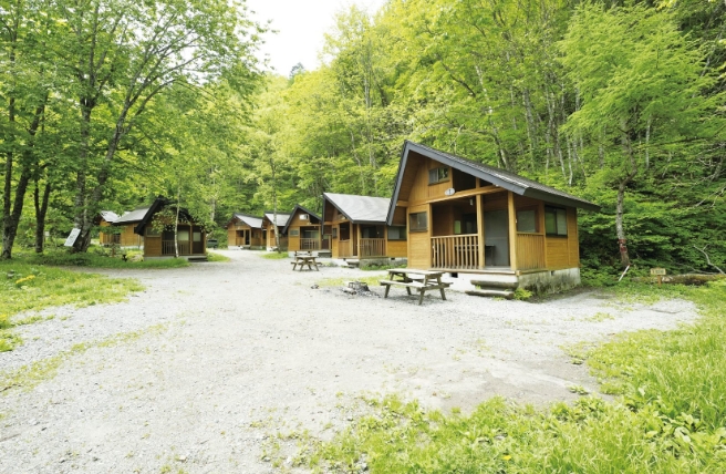
Just south of the park is the small port town of Utoro, whose hotels, hot springs and campsite serve as a good base for exploring Shiretoko. Sightseeing boats head up the craggy western coast of the park from Utoro, with views of waterfalls and seabirds nesting on the rock face. Winter expeditions head out of Utoro to the drift ice. Shiretoko is one of the world’s most southerly places to witness this otherworldly spectacle. Wear a dry suit and walk along the bright, blue-white formations. You may be sharing the ice with a few spotted seals.
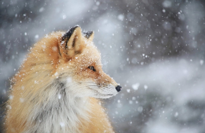
From the boat, you may also see a few brown bears onshore, padding along the treeline searching for food—Shiretoko has Japan’s densest concentration of them. Hokkaido’s indigenous Ainu people have long considered bears a protective deity, along with the Blakiston’s fish owl (kotan kor kamuyin Ainu, or “village-protecting god”). This is the world’s largest owl species, and there are around 165 of them on Hokkaido. Half the breeding pairs nest in Shiretoko, in old-growth forest around rivers.
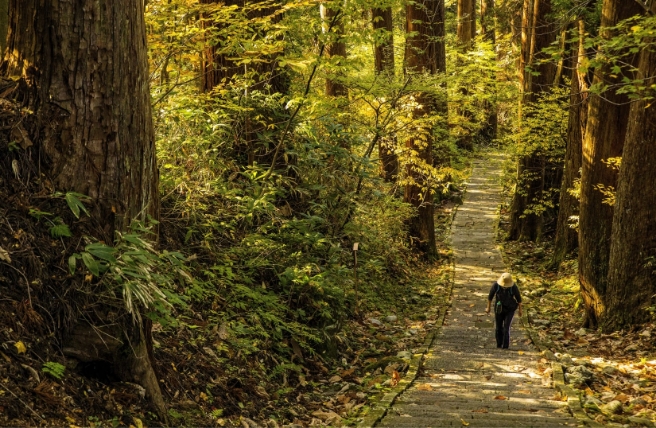
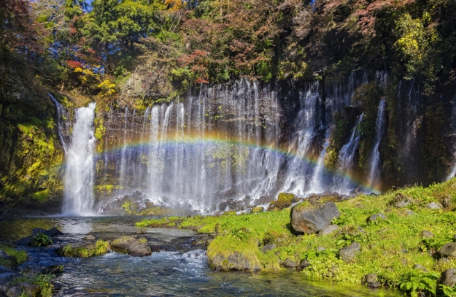
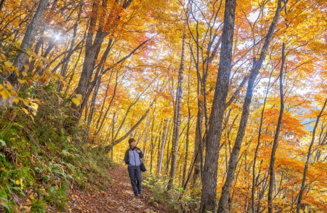
Just up the coast from Utoro is Furepe-no-Taki Falls, a cliff waterfall mysteriously named “Red Water” in Ainu. A 2-kilometer loop trail leads to the falls from the Shiretoko National Park Nature Center, where you can rent snowshoes, walking poles and other equipment. The trail passes through grassland and secondary forest ideal for birdwatching. A platform near the cliffs offers a clear view of the picturesque waterfall, which changes from a gentle flow to a dramatic spray of ice clinging to the stone in winter.
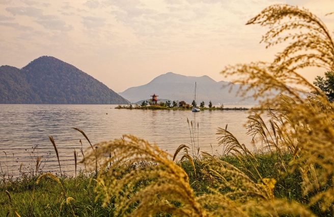
Around 9 kilometers up the coast is the Shiretoko Goko (Five Lakes) Field House. An elevated boardwalk here (open April to November) winds between scenic lakes and marshes. Primeval forest surrounds the waters, and mountains rise in the background.

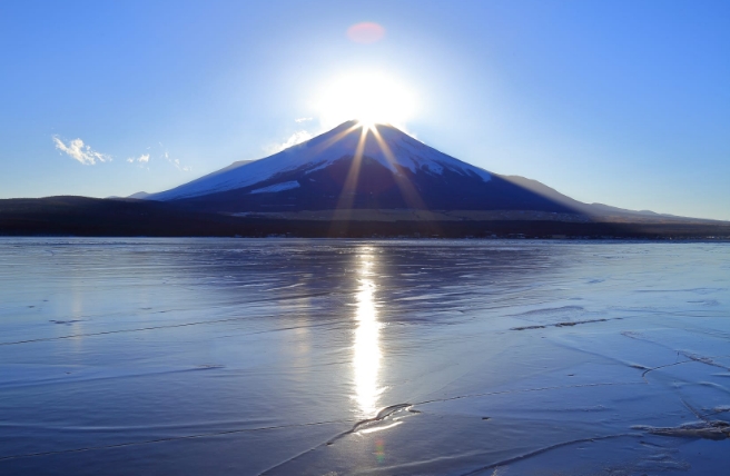
Drift Ice
The East Side
A road (part of National Route 334) cuts across the peninsula from Utoro to the town of Rausu. Going via Shiretoko Pass, you’ll find a small rest area offering close-up views of Mount Rausu and Kunashiri Island. Due to heavy snowfall, Shiretoko Pass is impassable during the winter months, but in summer it’s a popular cycling route.
North of the road is Mount Rausu (1,661 m), the Shiretoko range’s highest peak. The challenging trek to the summit takes over 8 hours round-trip. There’s snow on the ground as late as July, and it’s impassable in winter. Of the two hiking courses, the more popular starts from Iwaobetsu Onsen in the northwest, while the tougher one originates at Rausu campsite to the southeast.
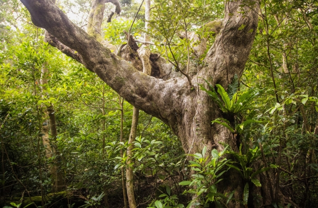
The Shiretoko mountains continue north from Mount Rausu, and include Mount Io (1,562 m) and Mount Shiretoko (1,254 m). Tiny alpine flowers like the rare Shiretoko violet (Viola kitamiana) often border the remote and beautiful summer hiking trails here. Shiretoko boasts 233 alpine plant species in all. The vegetation changes from mixed forests to birch to pine going up, with few signs of civilization.
To the south is Lake Rausu, where a 6-kilometer (round-trip) hiking course takes you past marshes and the vast lake. In the early summer, the route is ideal for snowshoeing. The picturesque falls of nearby Kumagoe-no-Taki are more easily accessible via a footpath following a stream from the road. In the gently flowing stream are the delicate white flowers of the aquatic plant Ranunculus nipponicus.
Rausu is the largest settlement on Shiretoko’s eastern coast. With campsites and the Rusa Field House and several hot springs (Seseki and Aidomari), this is a good base for exploring this area of the park. You’re likely to spot Steller’s sea eagles around the port, especially in February, watching the fishing vessels and sightseeing boats transit the harbor.
From January to April, winter drift ice cruises run from Rausu, while wildlife-watching trips depart from May to October. Nemuro Strait, which separates Shiretoko from the Kuril Islands, is an ideal environment for many species of whale, including orcas. You may spot birds such as Steller’s and white-tailed eagles, and brown bears searching for fish along the shoreline.
At the peninsula’s tip is Cape Shiretoko, where forested mountains give way to wide grasslands before tumbling down to the Sea of Okhotsk.
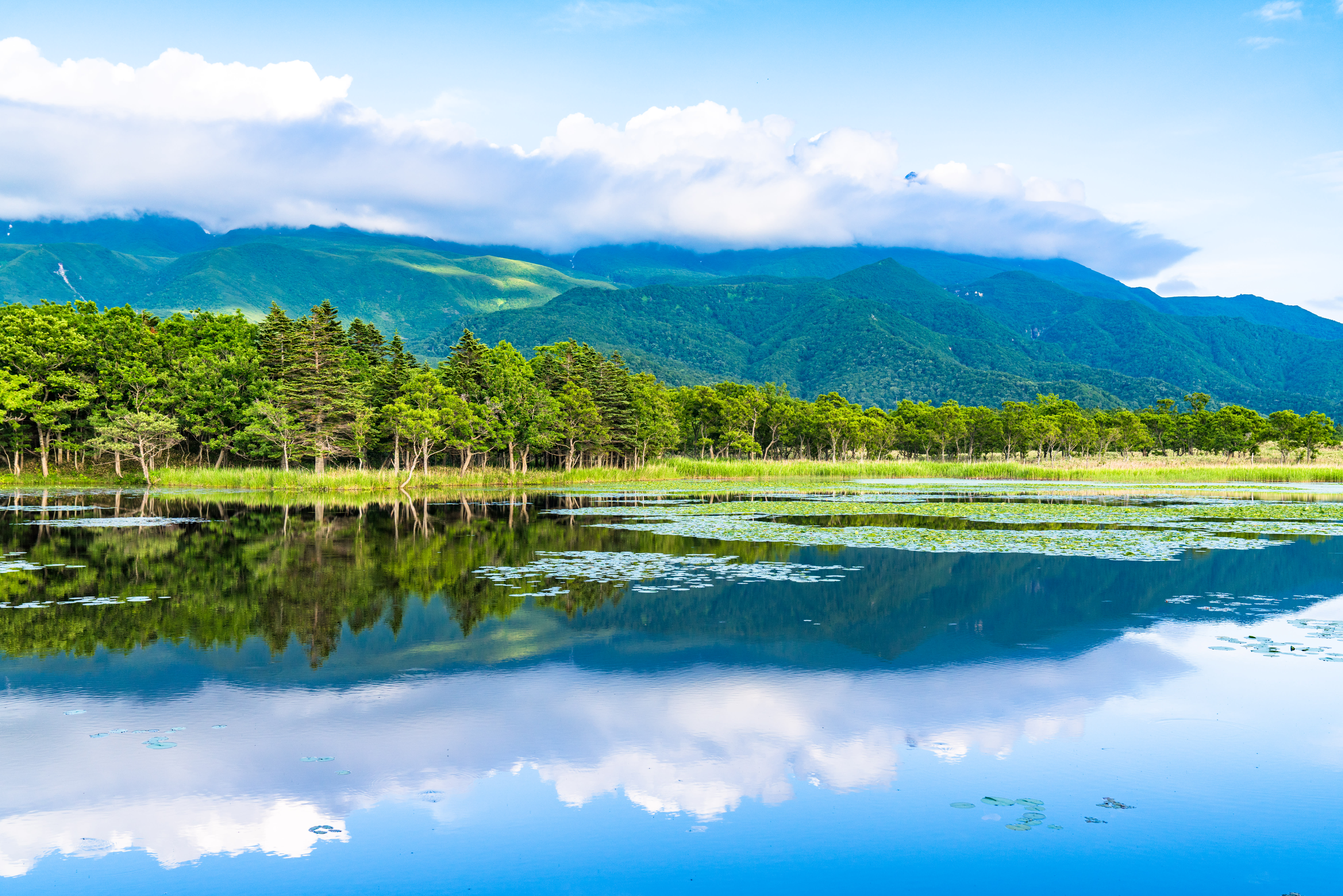
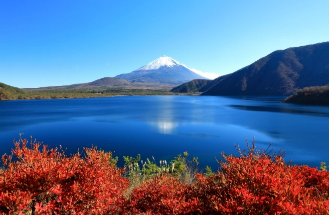
Shiretoko Goko (Five Lakes)
Culture
Prehistoric artifacts dating up to several thousand years ago have been found in the Shiretoko Peninsula. The Ainu people, in particular, were influenced by Okhotsk culture, and worshiped the Blakiston’s fish-owl, brown bear, and orcas as their gods. The culture they developed (hunting, fishing, plant collection, etc.) reflected the value they placed in the bountiful nature surrounding them. The park's name comes from the Ainu word siretok, meaning “end of the earth.”
The fishing grounds began operating in the Shiretoko Peninsula in the 19th century. Fishing is still the region's main industry, sustained by an abundant ocean. Fishermen utilize fishery resources such as chum salmon, pink salmon, walleye pollack, and kelp in a sustainable way.