


Gunma & Niigata
Mt. Tanigawa

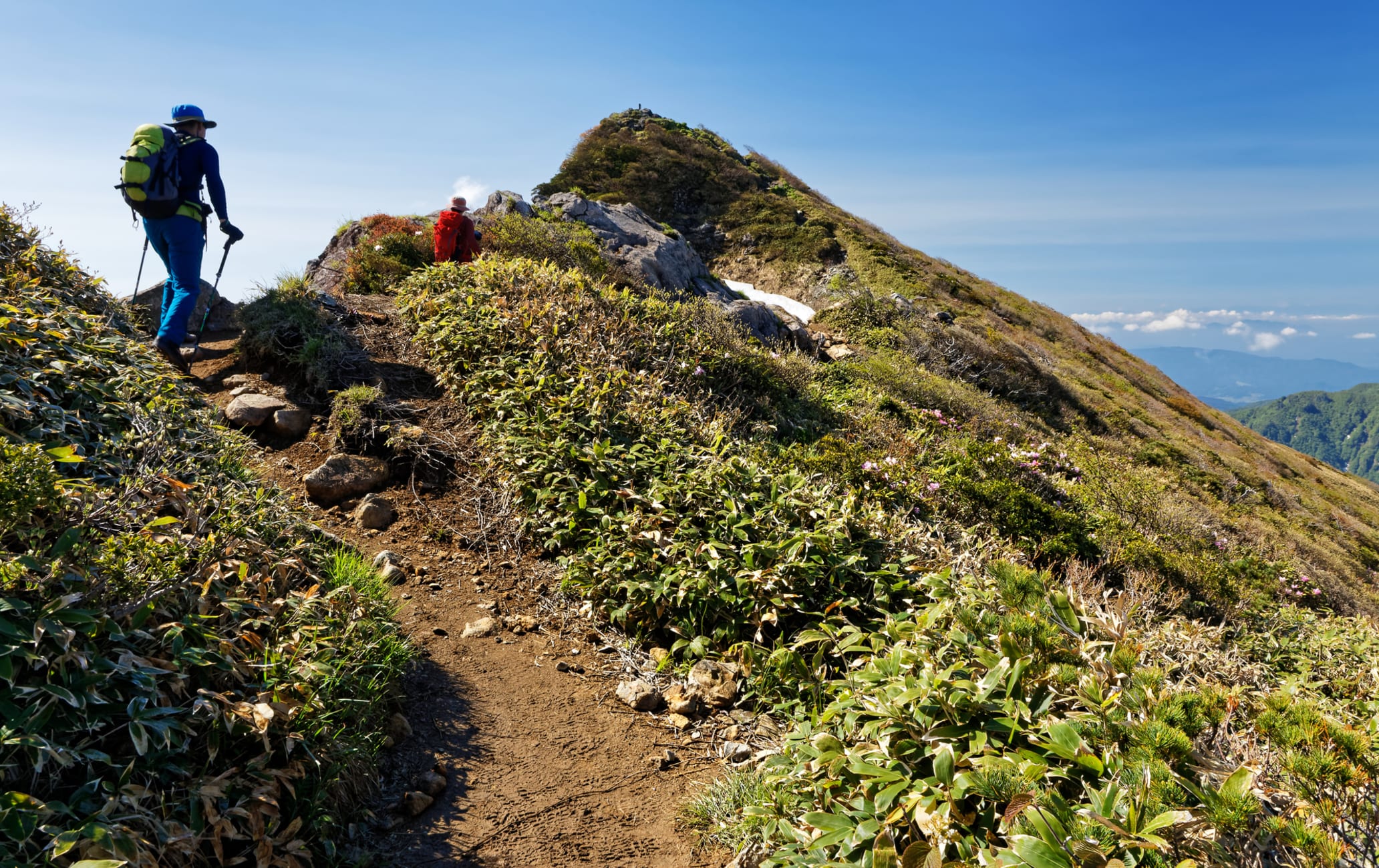
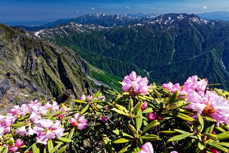
Straddling the border between Gunma and Niigata prefectures, Mt. Tanigawa is a bimodal mountain that rises to a height of 1,977 meters. It is popular for hiking from summer to autumn, and for backcountry skiing in winter. There are many climbing courses up the slope, including the Tenjin-One Ridge Course, which is a roundtrip course to Mt. Tanigawa accessible via ropeway. Mt. Tanigawa is remarkable for its alpine greenery, which can be seen even from relatively low elevations, and the panoramic view from the summit. Enjoy a soak in one of the numerous hot springs in the surrounding area after a hike.
Detail
Duration 1day / 5hours
Highest Point 1,977m
Elevation Gain 574m
Horizontal Distance 11.5km
* Duration is an estimate and may vary depending on route and pace.
Reference: Tenjin-one Ridge trail (Round Trip)
Access
From Tokyo Station, take the Joetsu Shinkansen for about 80 minutes to the JR Jomo-Kogen Station. From there, take a 50-minute bus to Tanigawadake Ropeway Doiguchikuchi Station. Take the ropeway to Tenjindaira, and transfer to the lift to Tenjin Toge. It takes approximately 20 minutes.
Links
Mt. Tanigawa (Gunma Prefectural Government)