


Gunma
Mt. Myogi
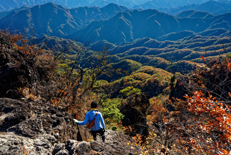

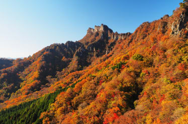
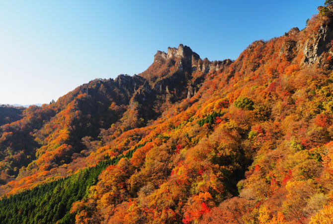
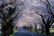
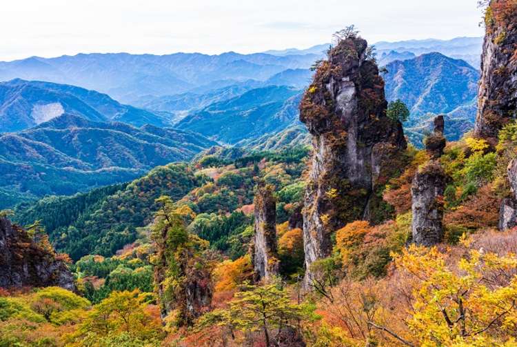
Gunma Prefecture’s Mt. Myogi (1,104 m) is characterized by its craggy, unusual rock formations. It attracts many visitors; one of its routes is gentle enough for most people, but it’s middle route offers a challenge to even advanced and experienced hikers. Its jagged rocks and rugged landscape are especially beautiful in autumn, when they are covered in vivid fall foliage. Together with Mt. Akagi and Mt. Haruna, it is one of Gunma’s three famous peaks. The nearby Sakura no Sato Park is home to 5,000 cherry trees of 45 species. When they bloom in mid-April, visitors can view beautiful blossoms at the trailhead, and the trees of Sakura no Sato from above, on the trail.
Detail
Duration 1day / 3hours
Highest Point 1,104m
Elevation Gain No Data
Horizontal Distance No Data
* Duration is an estimate and may vary depending on route and pace.
Reference: Midway Road (Kanto Fureai-no-michi)
Access
Take a train for about 25 minutes from JR Takasaki Station to JR Matsuida Station. From there, it is a 7-minute taxi ride to Myogi Shrine or a 20-minute taxi ride to the parking lot of Prefectural Myogi Park.
Links
Mt. Myogi (Gunma Prefectural Government)
Mt. Myogi Hiking route (Japanese Only)