


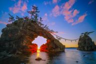
Nature
Hiking Mt. Hachimantai 八幡平
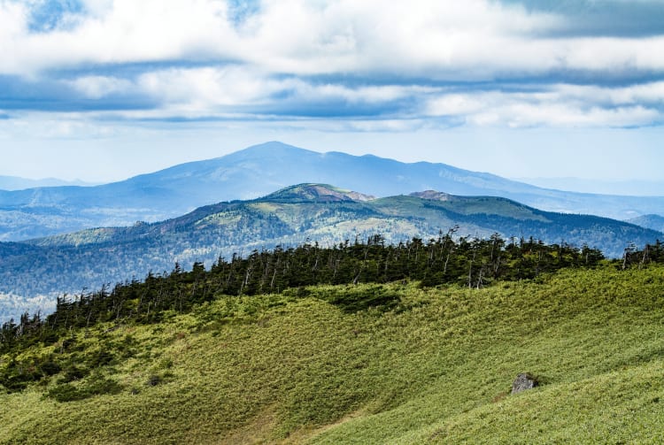
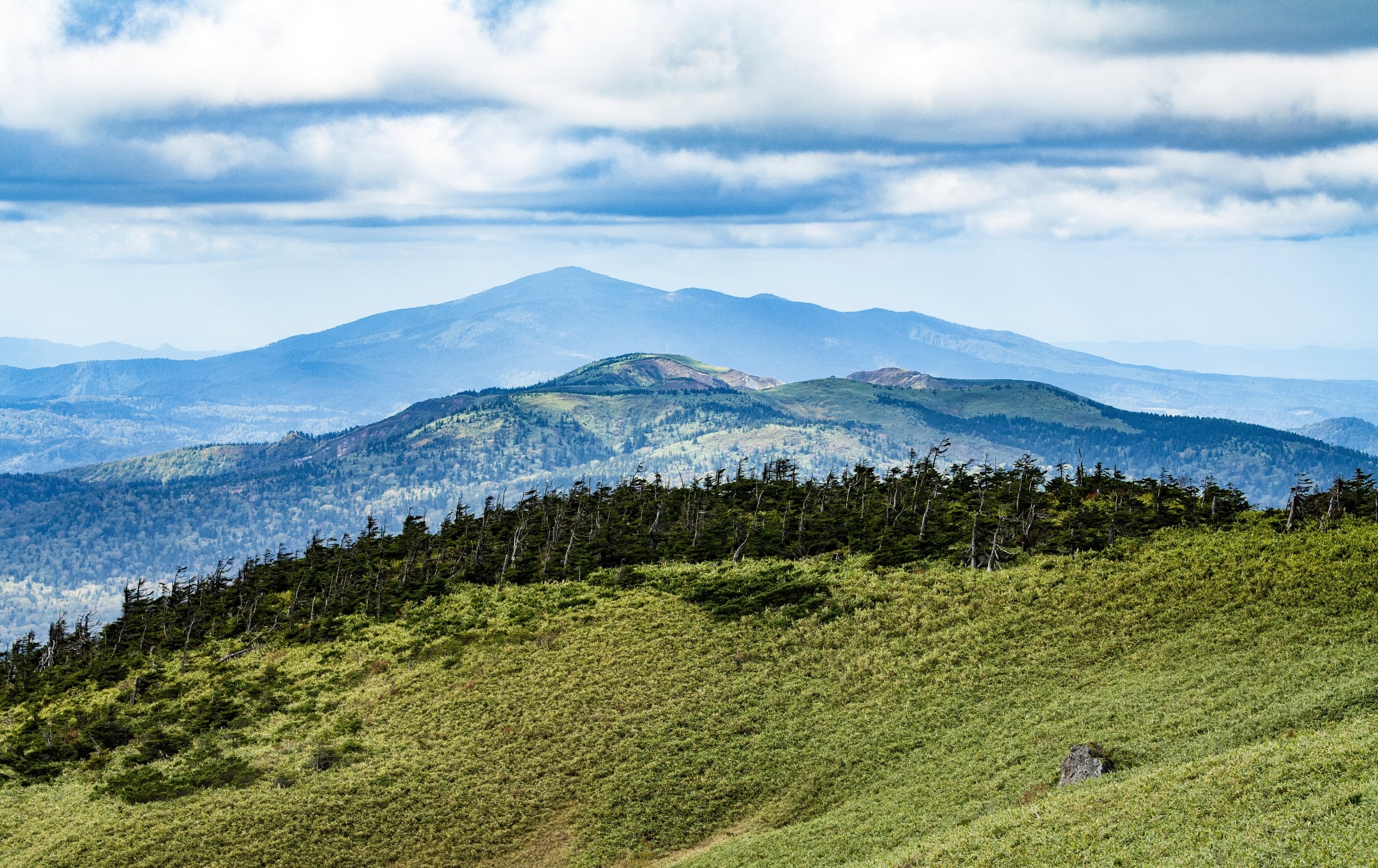

A flattop stratovolcano alive with wildlife and color
Towering at an impressive 1,613 meters high, Mt. Hachimantai is one of the best places to explore the stunning scenery of Iwate ![]()
![]() and Akita
and Akita ![]()
![]() Prefectures, offering a range of great hiking trails.
Prefectures, offering a range of great hiking trails.
If you are interested in geology, the mountain is a stratovolcano—also known as a composite volcano—naturally formed from many layers of hardened lava, pumice, and volcanic ash.
Don't Miss
- Exploring hiking trails of varying levels
- Hachiman-numa Pond and the surrounding marshland scenery
- Going for a soak at Toshichi Onsen, a natural hot spring at an elevation 1,400 meters
How to Get There
Mt. Hachimantai is easily accessible from Morioka Station by car or public transport during the peak season between May and early November.
Take a bus bound for Hachimantai from stand 3 at the east exit of Morioka Station and get off at Chausuguchi. If traveling by car, take the Hachimantai Aspite Line, a sightseeing road which connects to Iwate Prefecture ![]()
![]() in the east and Akita Prefecture
in the east and Akita Prefecture ![]()
![]() in the west.
in the west.
Buses run from mid-April until early November. Services cease to operate in winter.
Popular trails
Climbing times for the various routes range from 40 minutes to two hours and differ in level of difficulty, but all offer equally beautiful mountain scenery. The footpaths are well maintained and suitable for beginners as well as more seasoned walkers.
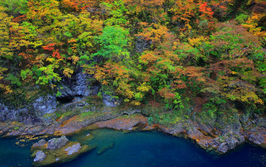
One of the most popular trails in the area begins from the Chausuguchi bus stop and takes in the summit of Mt. Chausu, one of Hachimantai's neighboring peaks. The Hachimantai area and its many trails are particularly popular in October when the fall colors are at their best.

The easy way around
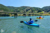
The shortest and most popular course is the marshland trail that loops around Hachiman-numa and Gama-numa, two wetland ponds. Much of the trail leads along a raised wooden platform with good views over the ponds and the greater wetland area.
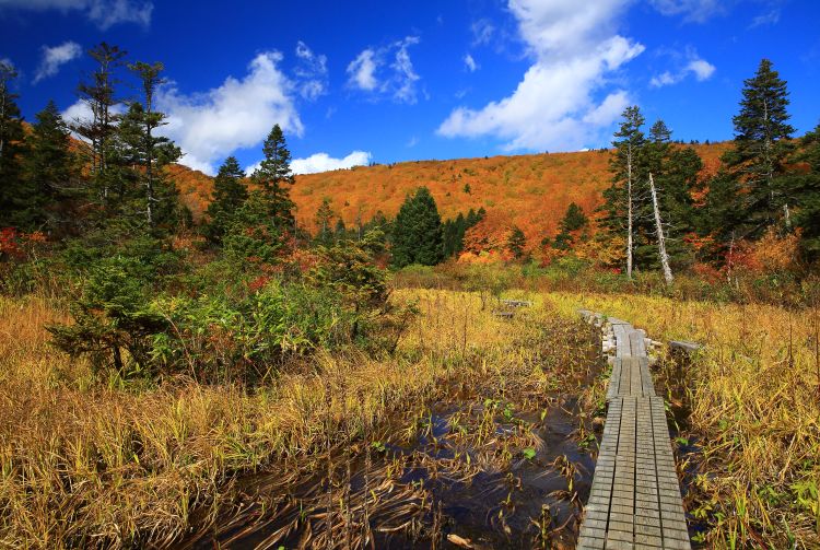
Hachiman-numa Pond is the largest of the wetland ponds in the area with a circumference of a kilometer. While walking the trail, you can expect to encounter wild birds and a host of plant species, including several varieties of rare alpine foliage.

Although most popular in autumn, the area is perhaps at its most pleasant in summer when the weather is generally sunny, and there are comparatively fewer visitors.
Go animal spotting
While in the Hachimantai area, keep a lookout for the forest green tree frog, golden eagle, Japanese serow and the Asiatic black bear—a few of the many different animals that call the forests around the peaks home.

The famous Aspite Line
If you are renting a car, don't miss a drive along the Aspite Line. The 27-kilometer long route snakes between peaks and is particularly popular in fall when the area is awash in shades of fiery red and golden brown. In winter the road is shut due to incredible amounts of snow, however during April when it's reopened, the road is flanked by impressive snow walls of pure white.
Recommended for You