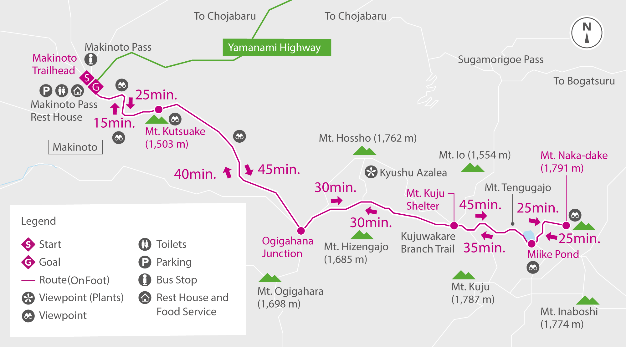


A hike up Kyushu's highest peak
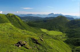
This hike starts at Makinoto Pass (1,333 m) and continues across a ridge that goes through the heart of the Kuju mountain range. The highest peaks in this area are clustered around this course. More experienced hikers can go as far as Mount Kuju (1,787 m), Mount Hossho (1,762 m) or Mount Inaboshi (1,774 m).
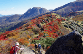
The stretch from Makinoto Pass to Mount Kutsukake (1,503 m) involves a steep 25-minute climb, but a great vista awaits when you reach the main ridge.
Mount Ogigahana (1,698 m) and Mount Hossho are two peaks that lie close to this course's main path and are possible side trips if you have the time and energy. They are both excellent places for gazing at Kyushu azaleas in June and colorful foliage during autumn.
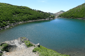
As you reach the Kujuwakare branch trail, you'll see Mount Kuju ahead. Walk around Miike Pond and along the ridge of Mount Tengugajo to reach Mount Nakadake's rocky peak. Retrace your steps to return to Makinoto Pass.