


Iwate
Mt. Hachimantai
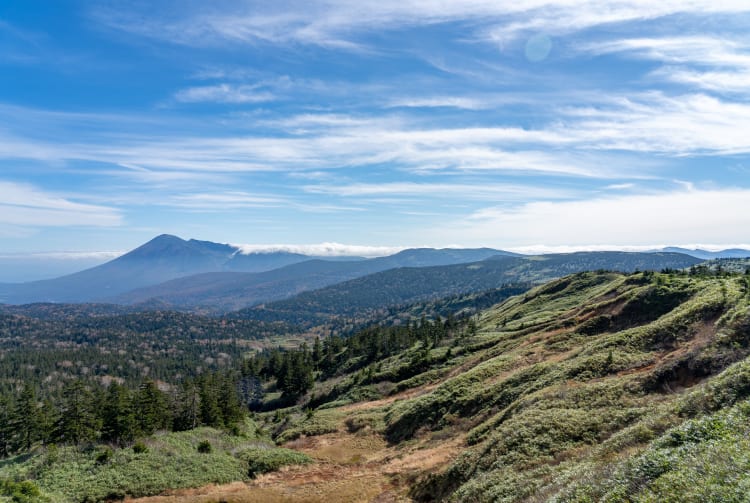
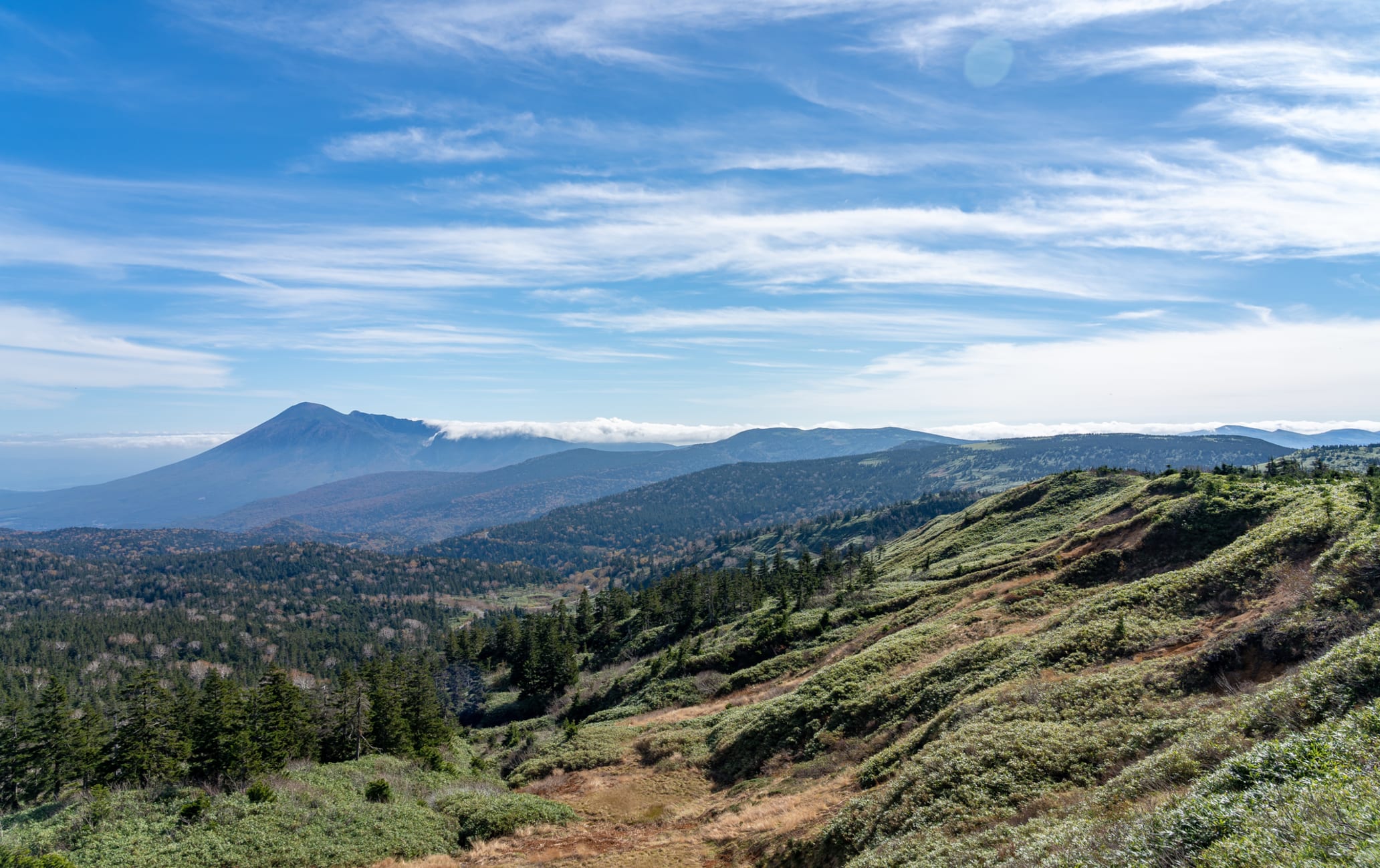
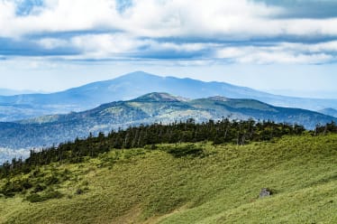
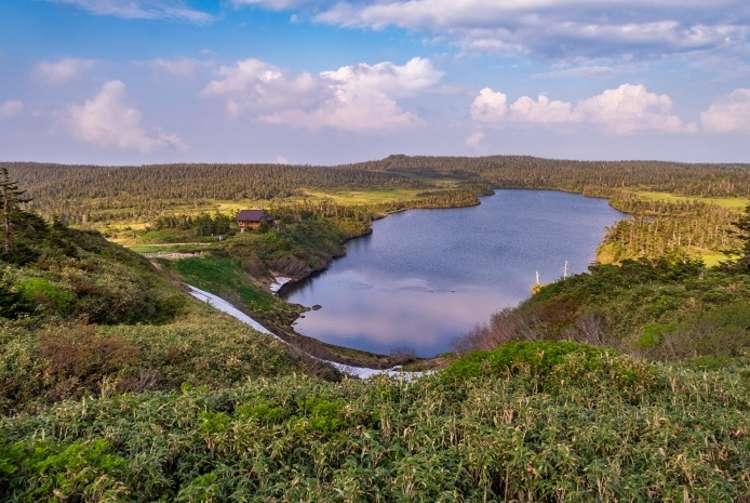
Mt. Hachimantai is a 1,614-meter-tall peak that straddles the border of Akita and Iwate prefectures. There are many courses from which to choose, from single day hikes to multi-day treks. Whether winding past mountains and lakes on the Hachimantai Plateau, or the tranquil forest-covered hills in Iwate, there is an abundance of beautiful scenery. One recommended route is the Hachimantai Nature Observation Trail Course, which ascends to the peak, and passes by Hachimannuma Pond. No matter which route you take, you will be treated to a dynamic volcanic landscape centuries in the making. Be sure to stop by one of the local hot springs at Hachimantai Onsenkyo afterward for a little rest and relaxation.
Detail
Duration 1day / 2.5hours
Highest Point 1,613m (Mt. Hachimantai)
Elevation Gain 66m
Horizontal Distance 2.8km
* Duration is an estimate and may vary depending on route and pace.
Reference: Hachimantai Nature Observation Trail Course
Access
From the Iwate Prefecture side, take a bus from JR Morioka Station to the Hachimantai Summit bus stop. It takes about 90 minutes. From the Akita Prefecture side, the bus from JR Tazawako Station to the Hachimantai Summit bus stop takes about 2 hours and 15 minutes.
Links
Towada-Hachimantai National Park