


Aomori & Akita
Shirakami Sanchi


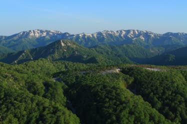
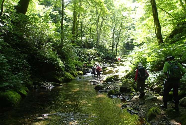
Shirakami Sanchi is a forested mountain range on the border of Aomori and Akita prefectures in northern Japan. It was registered as a Natural World Heritage Site in 1993 for its massive old-growth beech forests. There are many different routes through the area suitable for different levels of experience and fitness. Beginners can hike around Lake Juniko and admire the vivid hues of its waters, while more seasoned trekkers can make the more challenging journey to the top of Mt. Shirakami (1,235 m). There is a free-to-use refuge hut on Mt. Shirakami. Please confirm the conditions of using it in before your hike.
Detail
Duration 2day / 13.5hours (Sleeping: Shirakamidake-sancho-hinan-goya)
Highest Point 1,235m (Mt. Shirakami)
Elevation Gain 1,217m
Horizontal Distance 12.3km
* Duration is an estimate and may vary depending on route and pace.
Reference: (Day1) Hike the Okuzure Route with a view of the Lake Juniko area / (Day2) Hike to the top of Mt. Shirakami
Access
From JR Akita Station, take the Ou Main Line for about an hour to JR Higashi-Noshiro Station. From there, take the Gono Line to JR Juniko Station. Once you get to the JR Juniko Station, take the bus for about 15 minutes to Oku-Juniko bus stop. The course around Lake Juniko is a short walk from the Oku-Juniko bus stop.
Links
Shirakami Sanchi (Akita Shirakami Tourism)