


Nagano & Gifu
Mt. Yarigatake
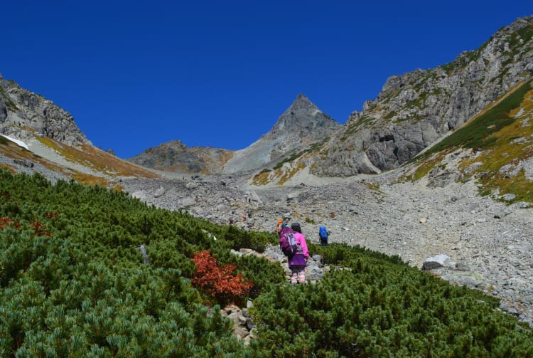

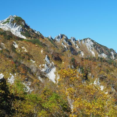
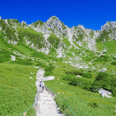
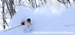
Rising prominently into the sky like a spear (or “yari” in Japanese), Mt. Yarigatake is the second-highest mountain in the Northern Japanese Alps at a height of 3,180 meters. Although the rugged glacial terrain of Mt. Yarigatake can be intimidating, the Yarisawa Route from Kamikochi has no rocky ridges and is easy to follow, Many of the courses are quite challenging, and require a few days to travel. There are many huts along the mountain where visitors can stay, including one directly below the summit. Snow covers Mt. Yarigatake for much of the year, which is why it is most popular to hike from Mid-July to early October.

Detail
Duration 3day / 19.5hours (Sleeping: Yarigatake Sanso etc.)
Highest Point 3,180m
Elevation Gain 1,680m
Horizontal Distance 35.6k
* Duration is an estimate and may vary depending on route and pace.
Reference: Yarisawa Route (Round Trip from Kamikochi)
Access
Take the Matsumoto Dentetsu Line from Matsumoto Station to Shinshimashima Station. From there, take a bus to the trailhead at Kamikochi. The entire trip takes about two hours.
Links
Mt. Yarigatake (Yarigatake Sanso Group)