


Hokkaido
Mt. Yotei
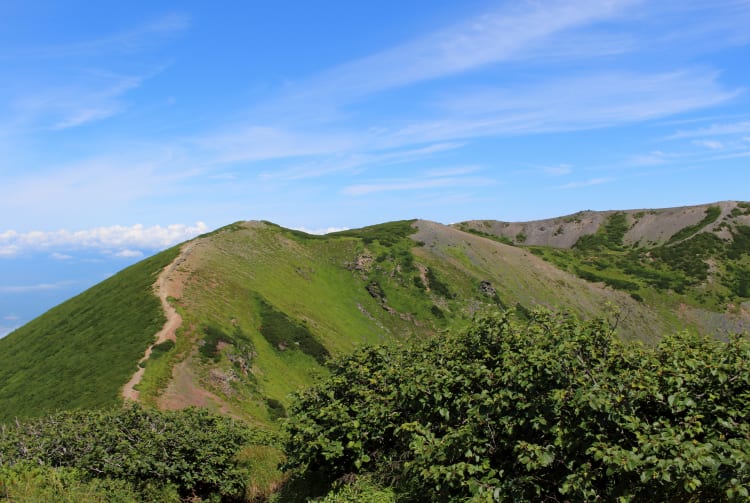
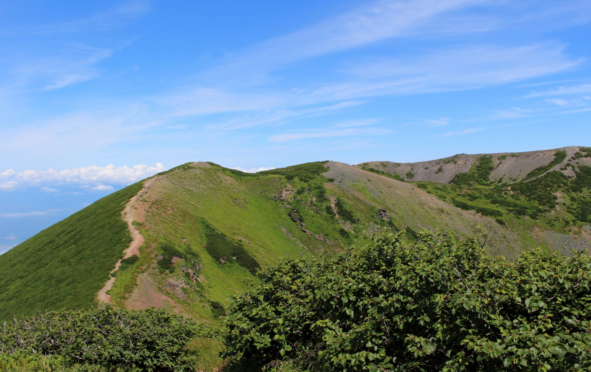
Mt. Yotei is a free-standing, cone-shaped stratovolcano in Hokkaido’s Shikotsu-Toya National Park. Mt. Yotei has an elevation of 1,898 meters, and is sometimes called “Ezo Fuji,” for its resemblance to Japan’s most famous mountain. More than 100 species of alpine plants bloom from early July to early August at an altitude of over 1,700 meters. There are several climbing courses on the mountain suitable for various levels of experience; the Makari Course is well-maintained, with gentle slopes suitable for beginners. Appreciate the alpine scenery and view of the crater wall from the summit. Explore even more wild beauty around Lake Toya, where you can enjoy camping and cycling, all with views of Mt. Yotei.

Detail
Duration 1day / 9hours
Highest Point 1,898m
Elevation Gain 1,670m
Horizontal Distance 13.4km
* Duration is an estimate and may vary depending on route and pace.
Reference: Round Trip Hike of Mt. Yotei via the Makkari Trail
Access
From JR Kutchan Station, take a 40-minute bus to the Yotei Shizen Koen Iriguchi bus stop. From there, it is a 20-minute walk to the trailhead.
Links
Mt. Yotei Course Guide (Automatic translation available)