


Nagano & Yamanashi
Yatsugatake Mountains


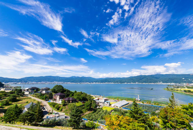
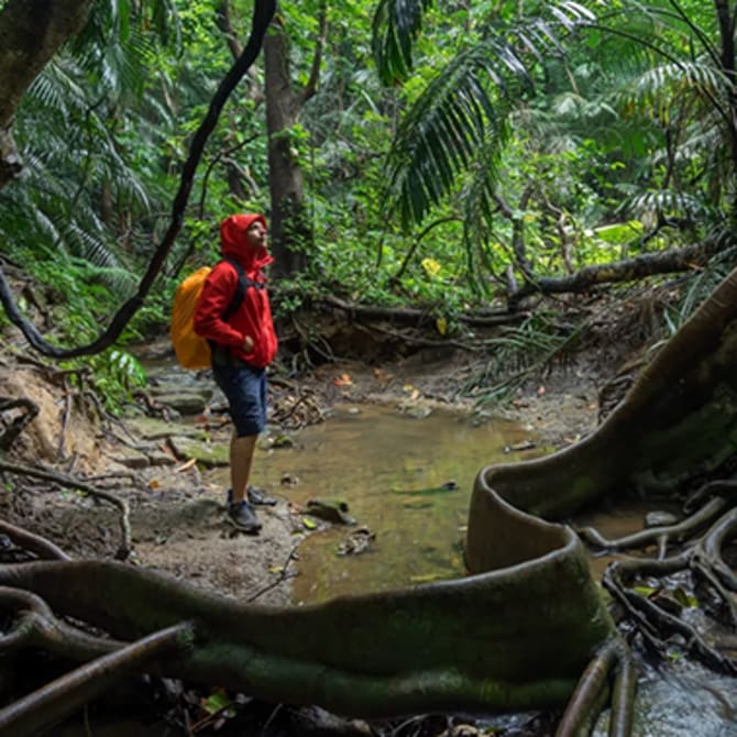
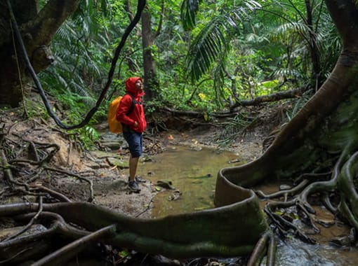
The Yatsugatake mountain range stretches 30 kilometers north-south and 15 kilometers east-west along the border between Yamanashi and Nagano Prefectures. There are multiple routes across the range offering various levels of hiking depending on your experience, such as the rocky, towering 3,000-meter-tall peak of Minami Yatsugatake, or the peaceful virgin forests and tranquil lakes of Kita Yatsugatake. A two-day, roundtrip hike from the Kannon-daira Trailhead takes visitors to Mt. Amigasa (2,524 m) and Mt. Gongen (2,715 m) on the southern tip of the range, and offers incredible views of surrounding peaks. The hiking season is generally from June until late October, although winter climbing is also possible. Some Mountain lodges are open year-round, offering food and other support to climbers every season. Stop by the nearby town of Suwa to enjoy a relaxing soak in one of its many natural hot springs.

Detail
Duration 2day / 8.5hours (Sleeping: Seinen-goya, Gongen-goya)
Highest Point 2,715m (Mt. Gongen)
Elevation Gain 1,197m
Horizontal Distance 10.9km
* Duration is an estimate and may vary depending on route and pace.
Reference: Loop of Mt. Amigasa and Mt. Gongen in the Southern Yatsugatake Mountains
Access
Take a bus for 15 minutes from JR Kiyosato Station to the Yatsugatake Club. From there, walk for about 10 minutes to the Tenjozan parking lot.
Links
Yatsugatake Mountains (Fujimi Town)