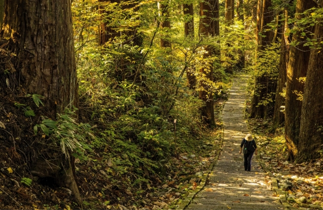


A long trail that passes lighthouses, fishing villages and Mount Konpira, a peak that offers a lofty perspective
Starting from Daiosaki Lighthouse, this trail follows the coast facing the Kumanonada Sea before cutting across the Sakishima Peninsula to Goza on the expansive Ago Bay.
Taking the trail west from the lighthouse, you'll come to the sheltered bay of Yonago Beach, surrounded by rocky cliffs. The walking route continues along National Route 260, heading back to the coastline at Funakoshioike Pond.
The trail rejoins National Road 260 after Funakoshi, then branches off to hug the coastline as it passes Ono Beach and the shrine of Katada Inari. The shrine boasts several sculptures and ceiling paintings in its main building.
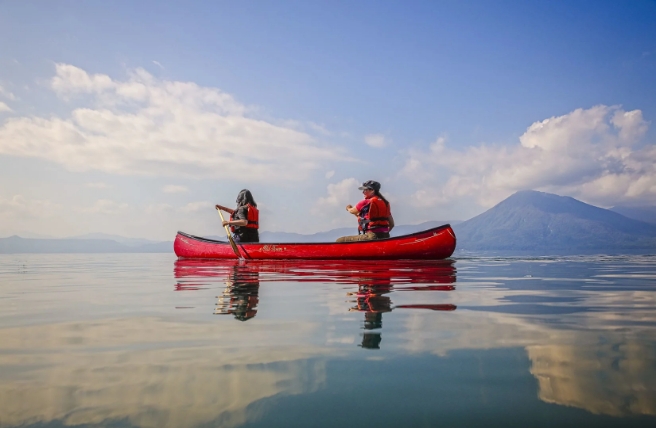
After rounding Cape Mugisaki, the walking route continues past Hironohama Beach before reaching Wagu Village, a thriving fishing port which holds its Shiokake Festival each July. From the village, you can see the island of Wagu Oshima, a paradise for coastal plants.
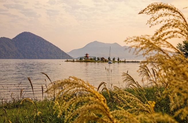
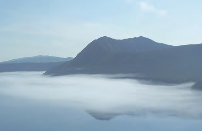
After passing Azuri Beach, the trail cuts inland to Mount Konpira, where a viewpoint gives excellent views of the peninsula. Finally, it reaches Goza, a port town on the opposite shore, where the sandy beach is perfect for swimming.