


Don't Miss
- Sandboarding down the vast, undulating dunes at Tottori
- Watching the sunrise through Asahi Sea Cave
- Relaxing on the sparkling quartzite beaches of Kamogaiso
- Swimming and snorkeling off Takeno Beach
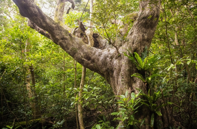
Shaped by the Sea of Japan’s powerful waves and strong seasonal winds, the diverse coastline of San’inkaigan National Park is full of hidden coves, mysterious tunnels and strange rock formations. An impressive array of sea creatures inhabits its reefs and tidal pools, while on land you might spot foxes, tanuki (Japanese raccoon dogs), huge flocks of migrating birds and even the endangered Oriental white stork.
San’inkaigan National Park stretches for 75 kilometers from Tottori to Kyotango, taking in landscapes as varied as basaltic caves, sandbars, tunnels and enormous dunes. Almost 8,800 hectares in all, it includes parts of Kyoto, Hyogo and Tottori prefectures.
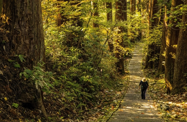
At the western edge of the park are the remarkable Tottori Sand Dunes, which are 16 kilometers long and 2.4 kilometers deep. Their undulating topography, marked with swirling, wind-formed patterns, are mesmerizing. You can get a closer view during activities such as riding fat bikes, sand boarding and even paragliding. Just south of the dunes is tranquil Tanegaike, a quiet pond which, according to legend, is guarded by the Otane, the spirit of a woman transformed into a snake.
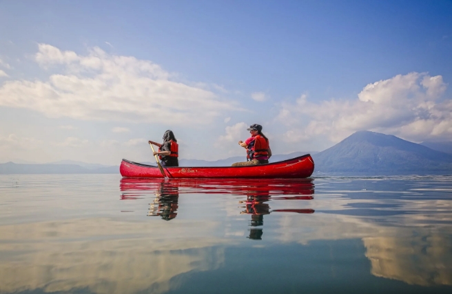
The Uradome Coast covers the area from Mount Shichi, just east of the dunes, to Cape Kugami. Its complex rock formations, pine-topped islets and sandy bays make it ideal for sea kayaking or taking a sightseeing boat.
Sengan-Matsushima Rock is the most famous of those islets, its slanted granite strata topped dramatically topped by a lone tree. The name comes from the story of a Kanbun-era (1661–1673) lord that proclaimed he would give 1,000 (sen) gan of silver (around 3,750 kilograms) to anyone who could bring the tree to his garden—provided the rock was still attached.
The Natanejima Islands are five connected islands off Shirawara Coast. Natanejima, the farthest out, is covered in wildflowers, their cheerful blossoms painting it yellow each spring.
The three beaches of Kokamogaiso, Tsubakidani and Okamogaiso are collectively known as Kamogaiso Beach. Their intricate coves and dainty islets are made more beautiful by the sand, whose high quartz content causes it to sparkle in the light. Uradome Beach, farther east, is another picturesque spot to while away a sunny afternoon wading in the shallow water or relaxing on the sand, surrounded by cliffs and promontories of white rock.
At the eastern end of the Uradome Coast is Ryujindo Cave, which is actually two sea caves carved by waves eroding the rock along its fault lines. House martins flit in and out of their nests in the walls, and greater horseshoe bats roost inside the dark caves.
The Anami Coast is wilder and rockier. Its promontories, islets (including meoto-iwa, or “husband and wife rock”) and craggy shoreline were formed by the erosion of ancient andesite.
East of the Kishida River is Ryugu Sea Cave, named for the pale “dragon” of andesite appearing to scale the granite cave wall. Slightly further on are Mio-Oshima, an island with beautiful joints and columns formed from magma, and Asahi Sea Cave on Cape Nokogiri, especially lovely when it frames the rising sun coming from the clear waters of the Sea of Japan.
Yoroi-no-Sode Cliff, designated as a National Natural Monument, brackets the west end of Kasumi Coast. The cliffs are 65 meters high and 200 meters long, with a steep 70-degree incline. The name means “sleeves of armor,” named for the jointed appearance of the alternating strata, which mimic samurai armor. The nearby Kujaku Tunnel (literally, "peacock tunnel") got its name because it brings to mind the opulent fanned tail feathers of a male peafowl.
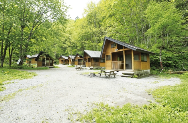
Imagoura Beach is a cove with both a flat, wave-cut volcanic terrace called Senjojiki and a fine sandy beach. Many of the rock formations hereabouts have imaginative names reflecting their shape, such as Kaerujima Island—shaped like a frog (kaeru). There’s also a campsite in the area, offering a good base for walking and sea swimming. Cape Obikinohana Observatory has sweeping views of the Sea of Japan and the coast.
Around 15 kilometers along the coast is Nekozaki, a peninsula that resembles a crouching cat when viewed from the ocean. To its west you'll find Hasakariiwa Rocks, an unusual rock gate in an area of wave-cut cliffs, formed when the roof of a cave fell in and became wedged between the walls. Just east of the peninsula is Takenohama, an 800-meter-long, classic white-sand beach. The area also has a snorkeling center, from where you can head out to explore underwater curiosities like the blue dorid (Hypselodoris festiva), a sea slug, and sometimes even colorful sea hares (Anaspidea).
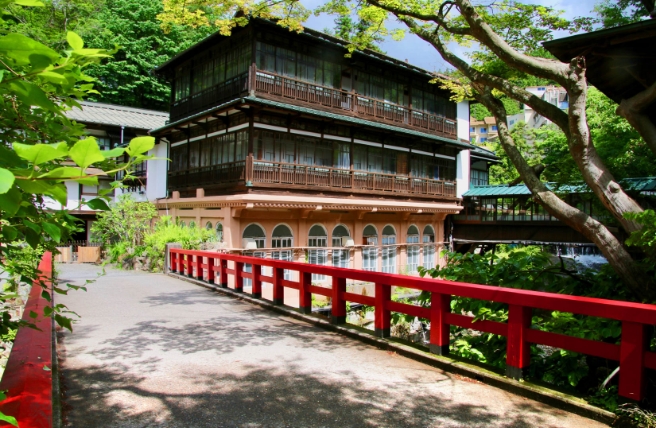
Kinosaki Onsen, inland from Takenohama, is a hot spring town with a nostalgic atmosphere. Its gently flowing river is lined with trailing willow trees. In the evenings, guests wearing yukata (cotton kimono) stroll the town, visiting the old-style gaming arcades and steaming footbaths. A ropeway heads up the mountain just outside of town, leading to the temple of Onsenji and offering views of Kinosaki Onsen and the Maruyama River between wooded mountain slopes.
Following the river south, you’ll come to Genbudo Cave, a designated National Natural Monument that formed 1.6 million years ago. You may spot endangered Oriental white storks as you travel along the river, perhaps catching fish or casting shadows with their two-meter wingspan as they fly overhead. Before 2005, there were no wild storks left in Japan due to habitat destruction, but today there are roughly 180 in the area, thriving in conserved wetland habitats around the river and rice paddies.
In the easternmost portion of San’inkaigan National Park is Kumihama Bay, a 28-kilometer-long lagoon. To its south is Mount Kabuto, a cone-shaped peak formed from rhyolite lava 191 meters high and topped by Kumano Shrine. Pale blue chalcedony gemstones are extracted from the volcanic rock. The north of the lagoon is closed off (except for a 50-meter waterway) from the Sea of Japan by Shotenkyo, a picturesque sandbar created 20,000 years ago. It’s nicknamed “the little bridge to heaven” due to its resemblance to nearby Amanohashidate, a legendary link between the worlds of the gods and humans.
Stretching 6.5 kilometers from Shotenkyo to the Kizu River are the Tango Sand Dunes. The dunes are dotted with rare seaside flowers, such as the perennial Pseudolysimachion ornatum, its delicate purple blossoms emerging in August and September, and beach morning glories (Calystegia soldanella), with pale pink trumpets in bloom each May and June. There’s also excellent swimming off the coast here, as well as at Goshikihama, meaning “five-colored beach.” Its bright and varied rocks, combined with its wave-cut benches, tidal pools and shallow waters make it a popular spot for families to go rock-pooling.

Being a coastal area, San’inkaigan has a long history of fishing, and a unique culture that has developed around it. The townscapes of the area’s fishery communities are defined by wood-planked, tile-roofed houses huddled together along narrow streets at the foot of steep escarpments. Agriculture has also been a key part of local life for centuries, as with the rice fields where you might spot storks looking for insects to eat. Near the Tottori Sand Dunes are purple-flecked fields of scallions—the only place they’re grown in Japan.
Slightly inland you’ll find several hot spring towns, with their own onsen culture. Kinosaki Onsen is the most prominent and was a favorite of Naoya Shiga (1883–1971) and other literary figures for its willow-lined canal and nostalgic atmosphere.
