


Shiga
Mt. Ibuki
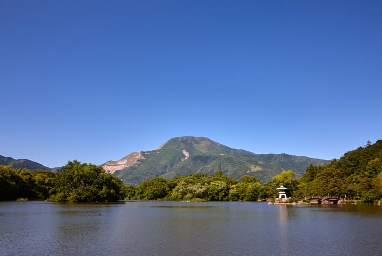

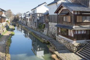
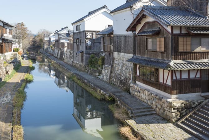
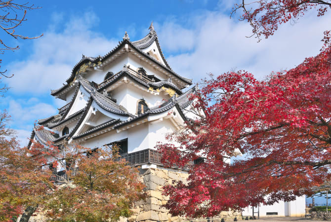
Straddling the border of Gifu and Shiga prefectures, Mt. Ibuki rises to a height of 1,377 meters. The summit is home to flat grasslands filled with over 1,000 species of alpine plants and flowers, which typically bloom in summer. Beginners are recommended to take the route that begins on the Shiga Prefecture side. Alternately, hikers can start at the Ninth Station Sky Terrace, which is part of the Ibukiyama Driveway, a road that leads to just below the summit. Step back into Japan's illustrious past with a visit to nearby Omihachiman, a beautifully preserved merchant town, or Hikone Castle in Shiga Prefecture.

Detail
Duration 1day / 1.5hours
Highest Point 1,377m
Elevation Gain 117m
Horizontal Distance 2.6km
* Duration is an estimate and may vary depending on route and pace.
Reference: A Loop Course to Mt. Ibuki from Sky Terrace
Access
From JR Kyoto Station, take the Tokaido Shinkansen for about 20 minutes to JR Maibara Station. From there, take a 10-minute train to JR Omi Nagaoka Station, where you can take a 16-minute bus to the Ibuki Tozanguchi bus stop. The trailhead is a 10-minute walk from the bus stop.
Links
Mt. Ibuki (Travel Guide Nagahama Maibara Okubiwako)