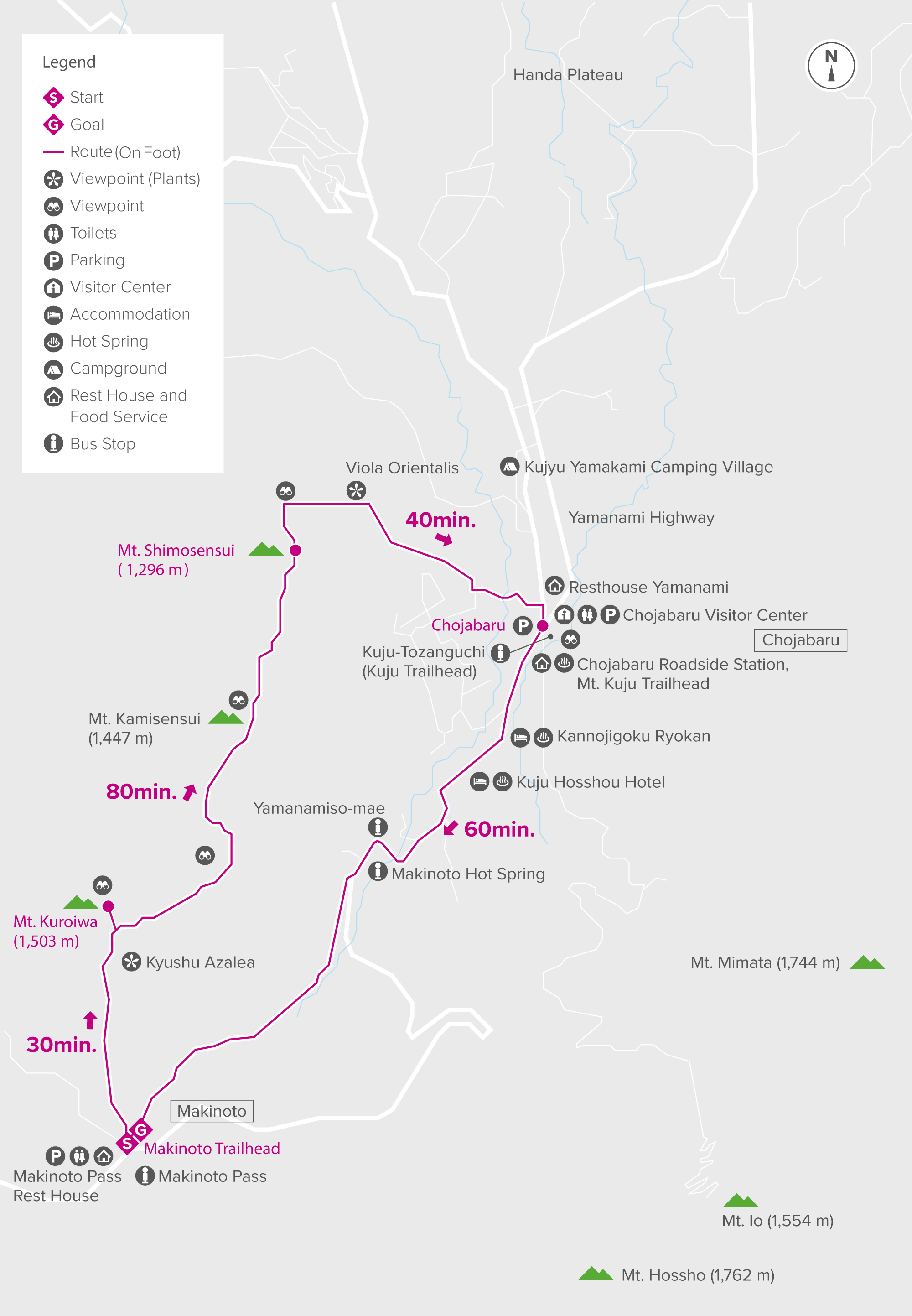


A ridgeline hike across rocky outcrops and through smooth grasslands
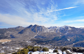
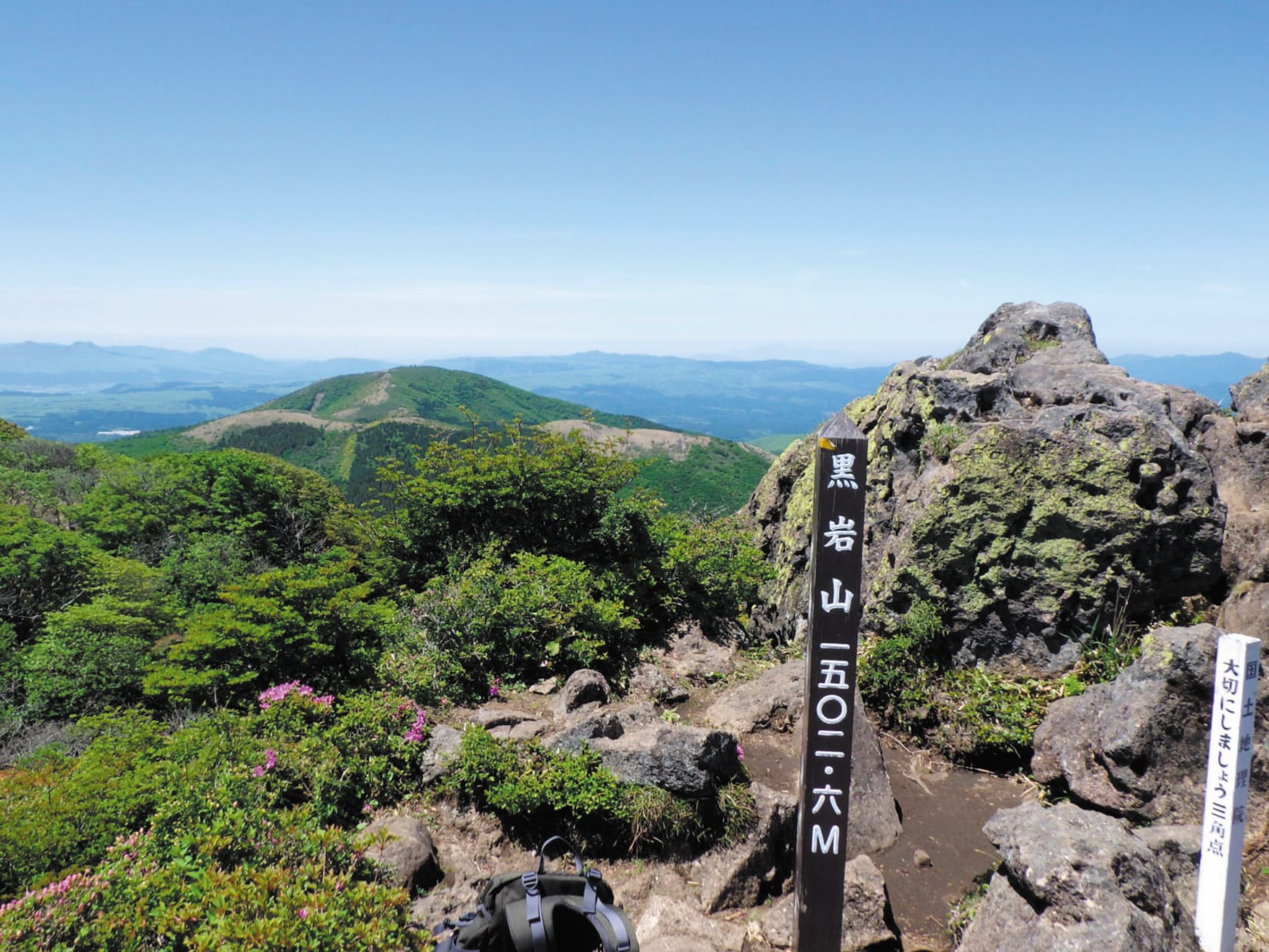
Starting at the main trailhead of Makinoto Pass, head away from Mount Kutsukake (1,503 m) toward Mount Kuroiwa (1,503 m). The ascent will get steeper after you pass an azumaya, a roofed rest space, but the path becomes gentler after about 30 minutes. Mount Kuroiwa's peak is composed of dark volcanic rock. The mountain's name comes from the peak's appearance—kuroiwa means "black rock" in Japanese. At the summit, you can enjoy views of Mount Haneyama (1,140 m), Mount Kuju (1,787 m) and the peaks of Yabakei Gorge.
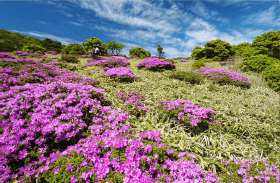
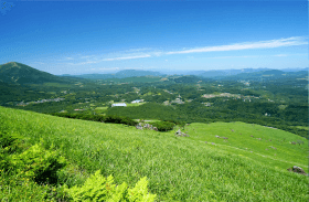
You'll pass through bamboo grass and over rocky outcrops as you leave the peak of Mount Kuroiwa. When you reach a junction in the path, turn left to head toward Mount Kamisensui (1,447 m). Walk across the grasslands while enjoying the view of the Chojabaru Onsen area stretching out below you. You'll go down a steep stone slope before arriving at Mount Shimosensui (1,296 m). After the peak, steep grasslands will appear in front of you. Descend this slope to reach Chojabaru. From there, walk along the Kyushu Nature Trail to return to Makinoto Pass.