Walking
Hiking
Distance
8-12 hours (round-trip)
Time
Varies
Start
Various Trailheads
Finish
Various Trailheads

Other Trails of Mount Iwate

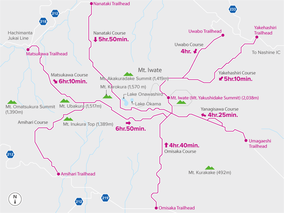
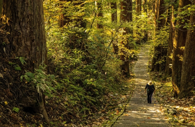
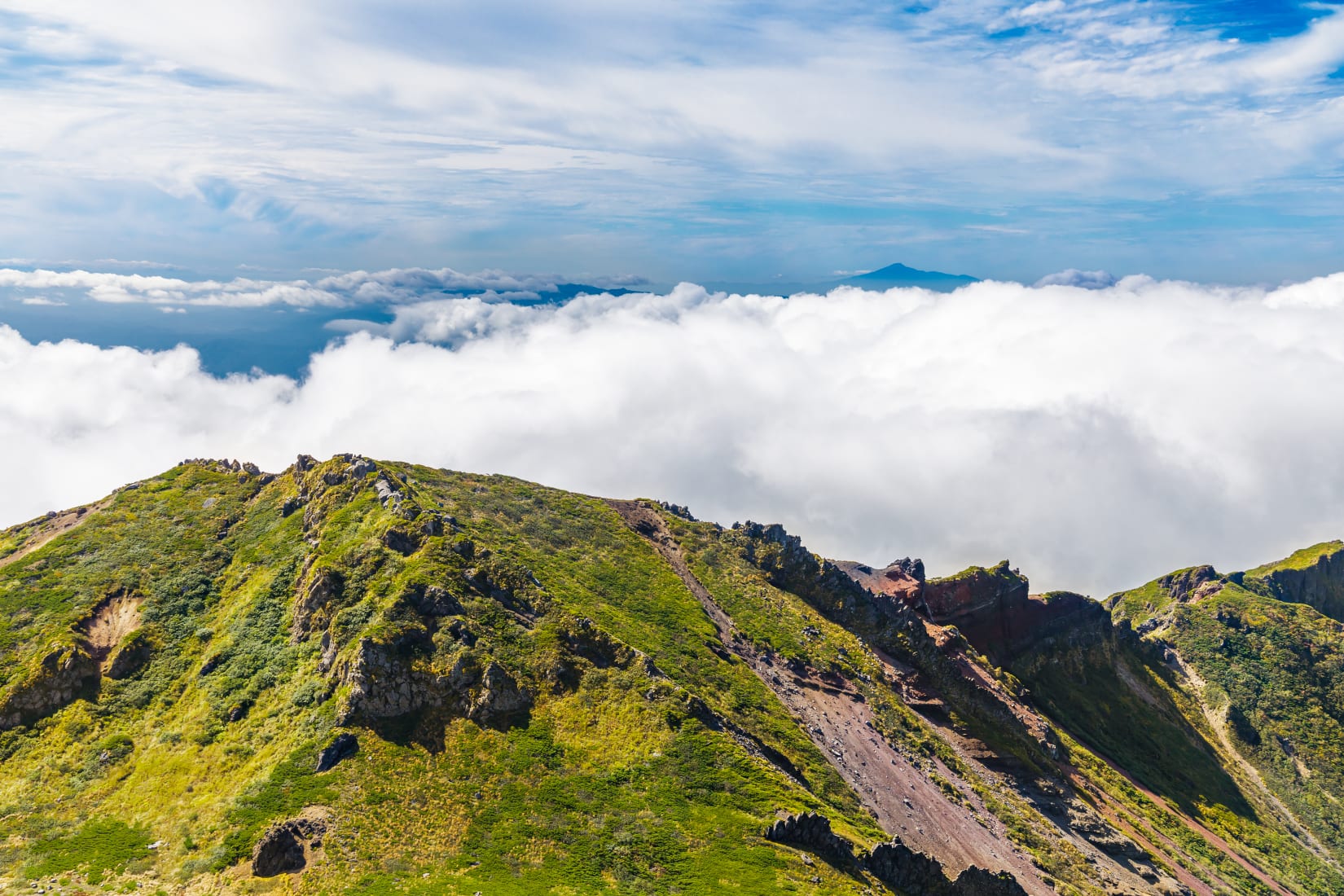
Choose from a diverse range of hiking trails to scale Mount Iwate's summit

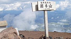
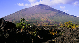
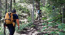
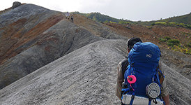
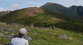
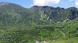
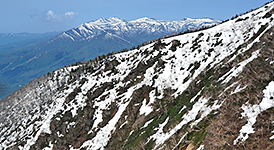
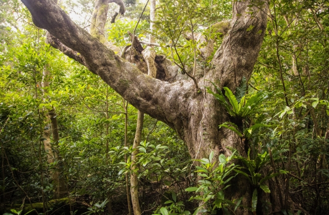
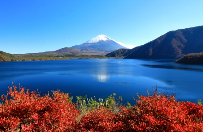
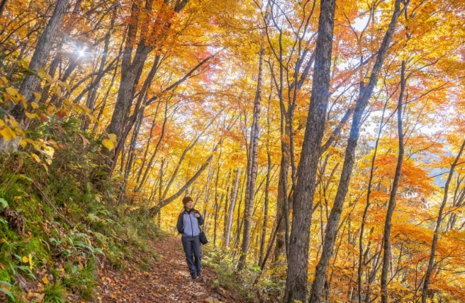
The 2,038-meter Mount Iwate is a sacred mountain that has attracted worshippers since ancient times and continues to be a popular hiking destination. It is also known as "Nanbu Fuji" for its resemblance to Mount Fuji when viewed from the Morioka City. Mount Iwate is surrounded by lava plateaus, beech and fir forests, marshes and lakes. Seven major hiking trails lead to Mount Iwate's summit, each with its own distinctive landscape. Hikers can take different routes for the ascent and descent. At the top, enjoy beautiful views of the Hachimantai area and pay a visit to Iwatesan-jinja's Okunomiya Shrine.

Highlights

Summit of Mount Iwate

Yanagisawa Trail

Since ancient times, worshippers have taken the Yanagisawa Trail to the summit of Mount Iwate, considered a sacred mountain. The course begins at the 633-meter Umagaeshi Trailhead in Takizawa City and offers excellent views of Morioka City and the Kitakami-Sanchi Mountains throughout the hike.

The fascinating shapes of the Yakehashiri Lava Flow

Yakehashiri Trail

The Yakehashiri Trail begins at the Yakehashiri Lava Flow on the northeastern slope of Mount Iwate. On your way to the summit, you will pass two eruption vents that offer views of the expansive fields of hardened lava. Many sections along the trail provide beautiful views of Mount Iwate.

The moss-covered path from Uwabo-jinja Shrine

Uwabo Trail

The history of the Uwabo Trail dates back to the days of worship climbing, with its trailhead near Uwabo-jinja Shrine. This trail is the quickest route up Mount Iwate and is covered with dense northern Japanese hemlock and Erman's birch trees most of the way. It is recommended for those who prefer a quiet atmosphere.

Striking volcanic landscapes

Nanataki Trail

The Nanataki Trail is the longest of all the hiking trails on Mount Iwate, but it is considered one of the most rewarding. It is blessed with varied landscapes, including waterfalls, volcano valleys, marshlands, and crater lakes. The trail passes by Nanataki Falls, cascading powerfully from 20 meters high, and the steam gushing from the Ojigokudani slope is a reminder that Mount Iwate is still active.

Peaceful mountain settings on the Matsukawa Trail

Matsukawa Trail

The Matsukawa Trail starts at Matsukawa Onsen and continues up a straight steep slope. After hiking over Mount Ubakura, the trail joins the Amihari Trail. The trail passes forests of Japanese beech trees, particularly beautiful in autumn when the leaves turn brilliant hues of red and gold. There are several vantage points where you can take in the views of Mount Iwate and Hachimantai along the way.

The thrilling Onigajo rock ridge

Amihari Trail

This route starts at the Amihari Trailhead, located in the Amihari Onsen Ski Resort. Hop on a chairlift that will take you up to an altitude of 1,320 meters and continue toward Kiritoshi. On the way, you will pass the peaks of Mount Ubakura and Mount Kurokura, which offer stunning views of Mount Iwate and the surrounding area.

A steep, uphill climb

Omisaka Trail

The Omisaka Trail starts at the southern foot of Mount Iwate and continues in a nearly straight line to the top. The continuous steep climb is suitable for strong hikers. You can see views of Otaki Falls, the Shizukuishi Basin and sprawling Morioka City from Otaki Observation Point.

Trail Map

Other Trails of Mount Iwate

Click to Expand Map