


©Yokosuka City
HOME > Japan’s Local Treasures > Yokosuka Cycling
Take a map and enjoy cycling along the charming routes of Yokosuka
Yokosuka City, Kanagawa Prefecture
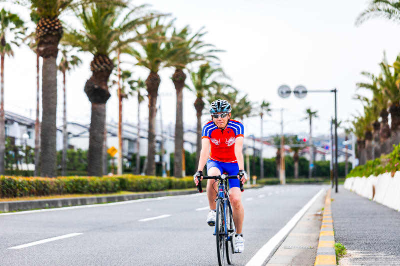
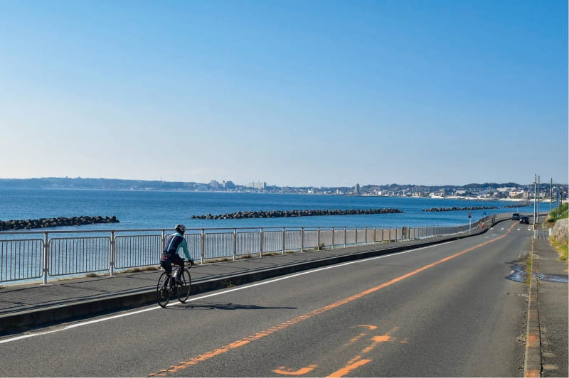
Enjoy cycling through town with the Yokosuka Cycling Map. This map features three different routes, each with unique attractions, milestones, and local specialties. For example, the West Coast route runs along Yokosuka's scenic coastline and visits facilities where you can purchase local specialties. The East Coast route takes you to tourist attractions and shrines that give you a sense of Yokosuka's history. Check out other details such as elevation changes being displayed for high-altitude terrain along the route and bike rental information. Enjoy your drive with a map. The map is distributed for free at JR Yokosuka Station, Yokosuka Chuo Station, Soleil no Oka, tourist information centers, Yokosuka City Hall Tourism Division, and other locations.
How to get there
Yokosuka Station: about 1 hour and 15 minutes from Tokyo Station on the JR Yokosuka Line.
From Kamakura Station to Yokosuka Station on the JR Yokosuka Line: 20 minutes.
From Haneda Airport to Yokosuka Chuo Station on the Keikyu Line: about 50 minutes.
Yokosuka Chuo Station:
2-chome Wakamatsucho, Yokosuka-shi, Kanagawa-ken
JR Yokosuka Station:
1-1 Higashihemicho, Yokosuka-shi, Kanagawa-ken